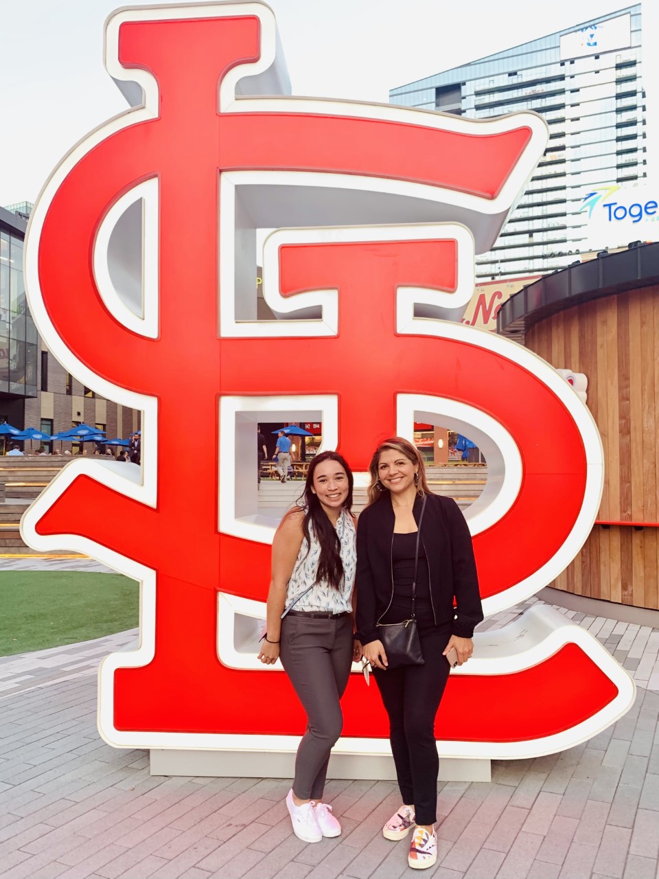
The GEOINT Symposium is the largest annual gathering of geospatial intelligence (GEOINT) professionals in the nation. This year, over 3,000 GEOINT professionals gathered in St. Louis, MO, for the first time in over a year. We were excited to see our colleagues in-person, listen to senior leaders of the community, learn from leading experts, and share what we have been working on for the past year and a half. Whitespace sent three of our team members to join in on the fun, and what a week we had.
We kicked off the week at GEOINT Forward, the precursor to the GEOINT Symposium. Here, speakers from across the industry discussed ways in which traditional geospatial intelligence and tradecraft could be used in non-traditional ways. Our CEO, Jackie Barbieri, was invited to speak on a panel on how the evolution of geomatics will inform the future of a geospatially intelligence service science. Our co-panelists included Richard Cooke (Director Global Imagery Remote Sensing at Esri), Demetrius Dozier (Senior Program Manager – Mixed Reality Government at Microsoft Mixed Reality), and Kyle McCullough (Director of Modeling and Simulation at the Institute for Creative Technologies, University of Southern California).
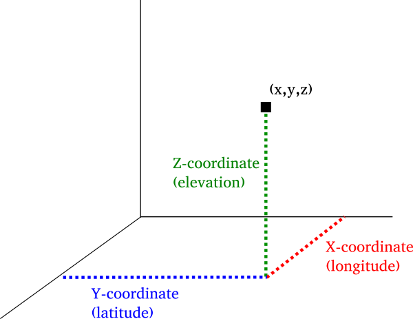
Those in the geospatial community will be familiar with the concept of “x, y, z, and t.” X, Y, and Z all represent how we place a data point on a coordinate system. X represents the longitude, or the east to west position. Y represents the latitude, or the north to south position. And, Z represents the elevation, or the height above the mean sea level. As geospatial science has evolved, we began including T to represent time. Adding the when to the where, furthers our understanding of what our world’s ground-truth is.
During her panel, Jackie discussed the importance of building in relationships, or R, to the evolving geospatial field. The job of the analyst – the sense maker – is to find those relationships “across information that has been properly referenced and pass it on to decision makers supporting human security missions.” We do this all the time, every day, almost intuitively. And, at Whitespace, we have actively been looking at relationships in a public health use case.
The challenge, is translating that into a scalable system, that can process the foundational data layer overlaid with the relational layer without overwhelming the sense maker. Further, once we have figured out how to process the data efficiently and accurately, where do we go? Co-panelist, Kyle McCullough claims that the next letter in our geospatial alphabet will be P – predictions and probability. Once you have enough data, defined by x, y, z, t, and r, then we will be able to start looking ahead.
We loved the opportunity to nerd out, and are especially grateful to Barry Tilton for putting together such an esteemed panel to discuss the future of GEOINT and the Metaverse.
For more details on the rest of Jackie’s discussion, check out this summary. And, to watch a short interview, inspired by Jackie’s words during her panel, please take look at this piece done by Project Geospatial.
Continue reading about our week in St. Louis here.